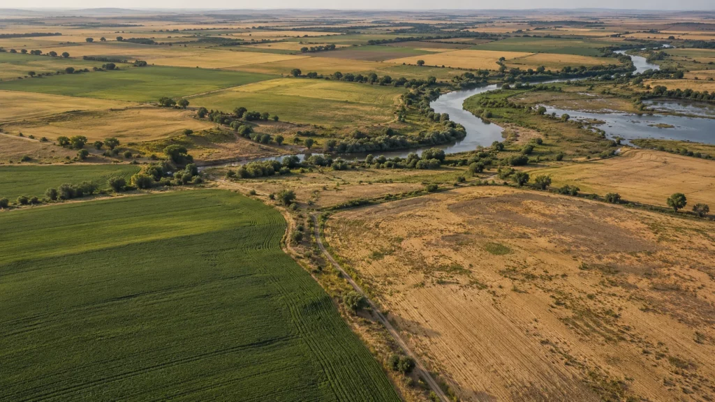
Modern satellite remote sensing and space-based earth observation have transitioned from theoretical aerospace science into vital risk-mitigation infrastructure for Kazakhstan’s economy. High-resolution orbital data provided by Kazcosmos and aerospace engineering joint venture Ghalam is reshaping flood forecasting, agricultural insurance, and environmental catastrophe defense.
Why Agricultural Insurance Lacks Coverage Without Space Data
Historically, agricultural insurance penetration across Kazakhstan remained below 5% due to high inspection costs and mutual distrust between farming enterprises and insurers. Sending physical loss adjusters to inspect hundreds of thousands of hectares of scorched or flooded wheat fields was slow, subjective, and prone to legal disputes.
Index-Based Drought and Soil Moisture Monitoring
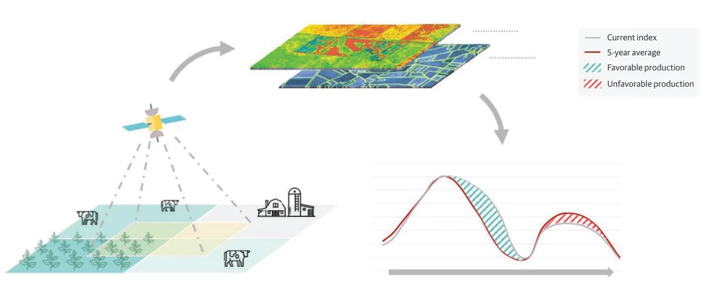
Orbital remote sensing solved this impasse through objective satellite indices:
- Normalized Difference Vegetation Index (NDVI): Multispectral sensors monitor chlorophyll absorption, detecting crop water stress weeks before physical signs appear on the ground;
- Microwave Soil Moisture Telemetry: Radar satellites penetrate cloud cover to gauge root-zone moisture anomalies;
- Automated Parametric Smart Contracts: If space telemetry records soil moisture drops below defined baseline thresholds over consecutive weeks, insurance payouts trigger automatically without requiring on-site farm inspections.
Flood Disaster Forecasting and State Partnership
Following catastrophic spring floods in Northern and Western Kazakhstan, orbital radar telemetry became essential for the Ministry of Emergency Situations. Space imagery maps snowpack water equivalents, riverbed overflows, and hydro-dam reservoir capacities in real time, empowering regional authorities to evacuate vulnerable settlements and coordinate emergency dyke construction days ahead of cresting floodwaters.