Egistic for fieldwork and iGPS Tech for tracking grazing animals
A map can show where crops are growing unevenly, which part of a field a tractor has covered and where the horses have gone. Kazakhstan’s Egistic and iGPS Tech turn these different kinds of data into practical tools. The first brings together information about a crop farm; the second transmits animals’ coordinates via satellite.
In this roundup from Startup Radar RAEM.KZ, we look at the problem each project solves and what to consider when getting started. For a farm with fields and machinery, work plans and resource use matter. For the owner of a herd on a remote pasture, the priority is knowing where the animals are, even without a mobile tower nearby.
Egistic brings fields and machinery into one system
Egistic is a farm management system. Its founder is Zhandos Kerimkulov. In an interview with Forbes Kazakhstan published on 21 December 2023, he said the product began with satellite imagery analysis. Farmers’ requests then led to the addition of work plans, machinery tracking and inventory management.
Satellite imagery helps reveal uneven crop growth. The website features maps based on the NDVI vegetation index, a measure used to assess vegetation health, and other parameters. These maps can flag a particular area of a field for inspection. The cause of any changes needs to be established on the ground: an anomaly in an image alone does not explain what has happened to the crops.
Imagine a field where some seedlings are developing more slowly than those nearby. An agronomist selects the area of concern on the map and uses its coordinates to plan a visit. This illustrates how the tool can be used; it is not a documented case from a farm. The point is to direct inspections to places where the data shows a difference.
Another component is telematics: collecting data from sensors on machinery. The developer describes vehicle locations, movement history, speed, fuel consumption and field coverage reports. This helps managers compare assigned work with what was actually done. For example, they can check how much ground the machinery covered during a shift and where it missed patches.
The planning module links crops, expected yields, dates for field operations and machinery. The website also describes calculations for work completion dates, fuel costs and purchasing plans. Crop rotation records retain information on the crops grown in each field, while inventory management helps track stocks of seeds, crop treatments, fuel and lubricants.
This combination can help farms where agronomists, machinery operators and managers work with the same fields but get their information from different logs and spreadsheets. Its value depends on how complete the data is and what the team does with it. In the Forbes interview, the founder specifically cautioned that access to information alone does not increase yields.
The pricing page has a calculator where users enter the farm’s area and choose a “Standard” or “Premium” plan. To budget for your farm, you will need a quote covering the modules, sensors, machinery connections and support. The homepage offers a free introduction to the platform; check the specific terms of access with the team.
Egistic profile in Startup Radar
iGPS transmits animals’ coordinates without mobile coverage
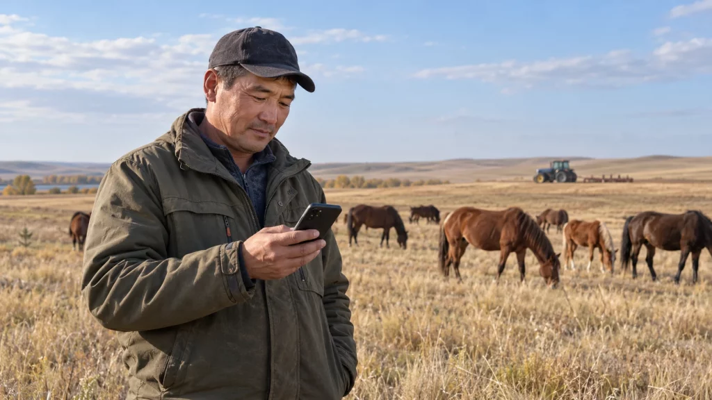
iGPS Tech offers satellite trackers for free-ranging animals. The device obtains coordinates and sends them to an app via satellite. This addresses a specific problem for farms where animals can roam far from settlements and mobile coverage.
Devices listed on the website include a white tracker based on SmartOne C and the Globalstar satellite network. Its specifications list location updates every four hours and four to six signals a day. The owner receives periodic coordinates. When searching, it is important to check the time of the last transmission: the animal may have moved since then.
A Digital Business article published on 21 September 2026 describes an early use case: a tracker was attached to the stallion leading the herd, and its coordinates were used to work out where to look for the horses. This approach helps guide the search. It does not provide a separate location for every horse: an animal that leaves the group without its own device will not appear separately on the map.
For a farm owner, this means being able to start a search with the last known location and the time of the signal. For example, they can check the transmitted coordinates in the morning before heading out to find the animals. How much this shortens any particular trip depends on routes, signal frequency and the herd’s behaviour.
The company also has a new collar with biosensors. According to the published description, one main device collects data from nine additional sensors: the set is designed for a group of up to ten animals. Listed measurements include temperature and physical activity. At the time of checking, the website lists the model as available for pre-order. These features need to be discussed alongside delivery times; sensor readings alone should not be used to make a veterinary diagnosis yourself.
iGPS says its trackers help monitor more than 130 thousand animals. In the September Digital Business article, the company also reported more than 3,800 users. The animal count does not mean the same number of trackers has been installed: the use case involving a herd leader allows users to locate the group.
Before buying, agree on a suitable model, transmission intervals, subscription fees, attachment and servicing. The website links to a Kaspi store for the white tracker already on sale and offers pre-orders for the new model. These involve different arrangements for getting started, which are worth clarifying before paying.
iGPS Tech profile in Startup Radar
What to choose for your needs
| Project | Where it helps | What you need to connect |
|---|---|---|
| Egistic | Fields, field operations, machinery and supplies | Field maps and farm data; compatible sensors for telematics |
| iGPS Tech | Finding animals on remote pastures | A suitable satellite tracker, an app and a data transmission service |
Publicly listed features and terms were checked on 11 October 2026. Usage figures were reported by the companies. The editorial team did not conduct a field test; the new iGPS collar with biosensors is listed on the website as available for pre-order.
You can start with one clear question. With Egistic, does the system’s data match what the agronomist sees in the selected field? With iGPS, does a signal arrive from the pasture you need to monitor, and how well does its transmission interval suit your search? This assessment helps gauge the benefits before connecting the entire farm.
Details about the teams and sources are collected in the Startup Radar RAEM.KZ profiles. The next step is to show the developers what you need to manage: a map of your fields, your machinery fleet or grazing conditions. That turns a conversation about technology into a discussion of the work at hand.